How the Mazahua and Villegas Shaped Mexico’s Colonial Frontier
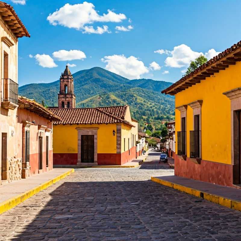
Jocotitlán, located on the slopes of Xocotépetl in the State of Mexico, is a town steeped in history and geographical significance. Once a vital trade route and battleground between the Mexica and Purépecha, it has faced ecological challenges due to deforestation and agriculture.

Jocotitlán. Now, this is not a name that rolls off the tongue for most people, but for anyone who finds themselves winding their way through the highlands of central Mexico, it’s a name they’ll remember. Perched on the slopes of a mountain with a name equally as catchy, Xocotépetl, this town has managed to thrive in the most stubbornly rugged of terrains. It’s not some glossy brochure town. It’s a real place, rugged and proud, with coordinates at 19º 36' 45'' and 19º 48' 58'' N latitude and 99º 39' 33 and 100º 00' 55'' W longitude, no less. This isn’t tourist Mexico with margaritas on the beach; this is Mexico in all its dusty, mountainous, and stubbornly enduring glory.
Jocotitlán sits in the northwest corner of the State of Mexico, essentially a small outpost huddled in the Ixtlahuaca Valley, where the earth rises and falls in exaggerated undulations. It’s not so much "scenic" in the postcard sense as it is “intimidatingly grand.” On one side, there’s the formidable Sierra de las Cruces, a range that looks like it was carved by some giant with a grudge against smooth contours. To the east, you’ll find another high-rising chain of mountains, home to La Guadalupana, a peak that towers at a dizzying 3,350 meters. And as if that weren’t enough, the heights continue with Mayorazgo, another whopper at around 3,000 meters.


