Hurricane Watch Issued as Helene Nears Landfall
Tropical Storm Helene is intensifying in the Caribbean Sea and poses a potential threat to the Gulf Coast. The storm is expected to make landfall in Florida as a category 2 hurricane.
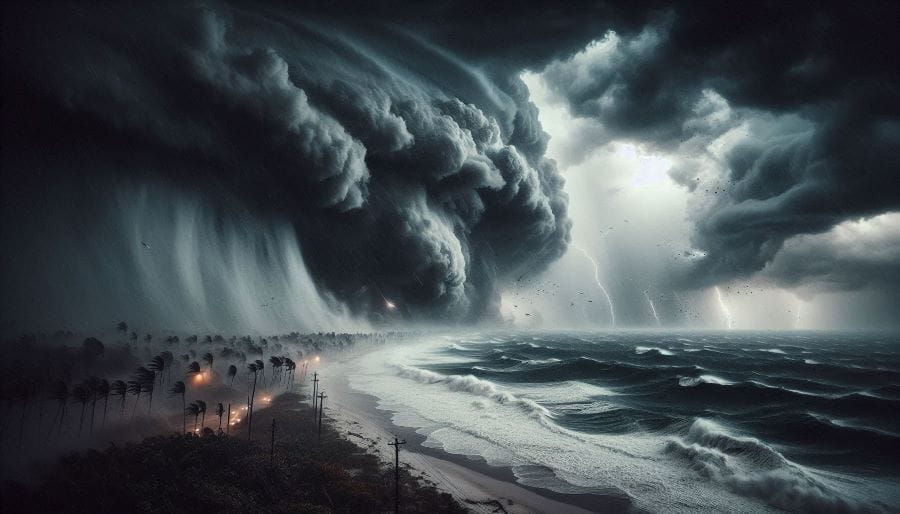
In a dramatic escalation of weather events, the low-pressure zone off the coast of Quintana Roo has rapidly evolved into what the National Water Commission (Conagua) has termed Potential Tropical Cyclone Nine. This system is expected to intensify into Tropical Storm Helene by early Tuesday, September 24, and further strengthen into a Category 2 hurricane as it moves northward toward Florida. Though Helene will not make direct landfall in Mexico, its wide circulation is already causing significant weather disruptions across the Yucatán Peninsula.
As of Monday afternoon, the potential tropical cyclone was located approximately 205 kilometers south-southwest of Grand Cayman Island and 605 kilometers east-southeast of Punta Herrero, Quintana Roo. Maximum sustained winds have been recorded at 45 kilometers per hour, with gusts reaching up to 65 kilometers per hour, as the system moves slowly north at a speed of 9 kilometers per hour.
While the eye of the storm remains relatively far from Mexican shores, the storm's wide circulation is already causing ripple effects in the southeastern part of the country. Conagua has issued warnings for intense rainfall in Quintana Roo, as well as very strong rains across Yucatán and Campeche. These rains pose risks of localized flooding, especially in low-lying areas, while the gusty winds, forecasted to range between 50 and 60 kilometers per hour, are expected to complicate conditions in the affected states.
In response, local authorities in Quintana Roo have issued a blue alert, signaling minimal danger. According to Governor Mara Lezama, this alert level reflects the current distance of the cyclone from the coast. However, residents are urged to remain vigilant, as the situation could change rapidly.
Prevention zones for tropical storm effects have been established along a stretch of the Yucatán coast from Río Lagartos to Tulum, while a surveillance zone for potential hurricane impacts extends from Cabo Catoche to Tulum, indicating the seriousness with which authorities are monitoring the cyclone’s development.
Forecasts indicate that Potential Tropical Cyclone Nine will continue strengthening over the next 24 hours, reaching tropical storm status and earning the name "Helene" in the early hours of Tuesday, September 24. By Wednesday, September 25, Helene is expected to achieve Category 1 hurricane status and rapidly intensify to Category 2 by the afternoon, packing winds that could cause extensive damage as it nears the U.S. coastline.
Fortunately for Mexico, Helene is forecast to shift its trajectory northward, avoiding a direct hit on the Yucatán Peninsula. Nevertheless, its cloud bands will sweep across the region, causing sporadic downpours and gusty conditions throughout Tuesday. While landfall in Mexico has been ruled out, the country's southeast region will remain under weather alerts as the storm edges closer to U.S. territory.
U.S. Prepares for Hurricane Helene
Helene’s path is expected to take a sharp turn toward Florida by Wednesday, making landfall somewhere along the state’s east coast as a powerful Category 2 hurricane. Local officials in Florida are already mobilizing, bracing for the potential damage from heavy rainfall, high winds, and storm surges that are likely to accompany Helene's arrival.
Projections suggest that after making landfall in Florida, Helene will gradually lose strength, downgrading to a tropical storm as it moves further inland. By the time the system reaches Georgia, it is expected to weaken into a post-tropical cyclone. However, significant rain, potential flooding, and power outages remain key concerns for residents in the southeastern U.S. as the storm continues its progression.
The swift intensification of Tropical Cyclone Nine into Helene is a stark reminder of the volatility of hurricane season in the Atlantic. The 2024 season has already seen its fair share of extreme weather events, and experts warn that increasing ocean temperatures may be fueling the rapid development and intensification of such storms.
While Mexico may escape the worst of Helene’s fury, the storm’s far-reaching effects will still be felt across Quintana Roo, Yucatán, and Campeche, as they experience heavy rains and strong winds in the days ahead. The states are well-versed in preparing for tropical storms and hurricanes, but authorities are leaving nothing to chance, urging residents to take appropriate precautions.
For the United States, Helene represents a more immediate and potentially dangerous threat. With memories of past hurricanes still fresh in the minds of many Floridians, preparation efforts have already begun across the state. Emergency response teams are on standby, and residents are being urged to stockpile essentials, secure their properties, and stay informed as the storm draws closer.
While the exact impact of Hurricane Helene remains to be seen, its formation highlights the importance of robust weather forecasting and preparedness. Governments and local communities across Mexico and the U.S. are racing to mitigate the storm’s effects, but nature remains unpredictable.
As Hurricane Helene advances, both countries will likely see shifts in its trajectory and intensity. For now, vigilance is key. Whether it be the residents of the Yucatán Peninsula or the millions living along Florida’s coastline, the coming days will demand careful attention as Helene barrels through the Atlantic, testing resilience in the face of nature’s raw power.